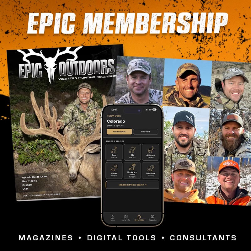
Epic Outdoors Map Center

Customize your own premium hunting maps showing exact unit boundaries and much more. We’ve partnered with Trimble and MyTopo to provide our custom maps, featuring the Epic Outdoors logo along with many custom features.

Custom Layer Overlay Options

  • Game Management Unit (GMU) boundaries
  • Private property lines
  • Private land ownership information
  • US Forest Service roads
  • Public land boundaries
  • Overlay your personal GPS coordinates

Base Map Options

  • United States Geological Survey (USGS) 7.5 maps
  • Canadian topographic maps
  • US Department of Agriculture aerial photography for the US
  • Digital Globe Satellite imagery for the US and Canada
  • Topophoto maps (a USGS topo overlaid on an aerial image)

Finish Options

  • Waterproof “outdoors” maps
  • Laminated maps
  • Rolled or folded maps
Our GPS Map Design Center gives you the ability to overlay a .gpx file on your map as well. Click Here for the GPS Map Design Center.